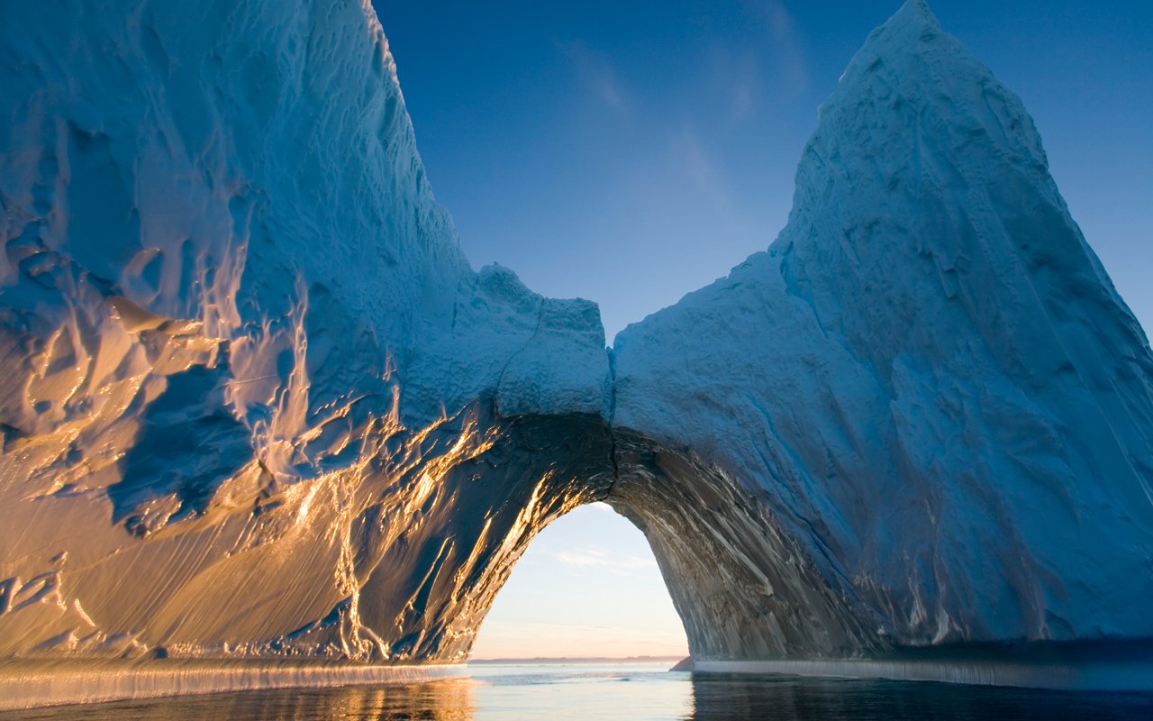
The area of the Arctic Ocean, its islands and the northern coasts of Europe, Asia, America are called the Arctic, a name that comes from the Greek word: ἄρκτος, meaning bear. The area of the Arctic is 21 million km². Among the ice in the center of the Arctic is the North Pole. The space around the poles to the outskirts of the mainland is called the Central Arctic.
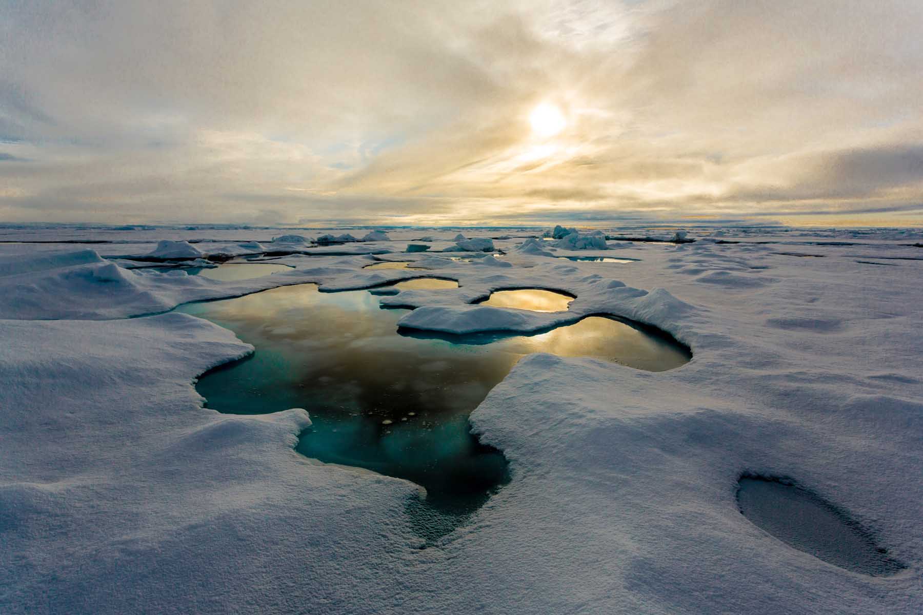
Arctic is surrounded by land, with the exception of the Bering Strait, connecting it with the northern Pacific Ocean. In most of the year the water is covered with ice, except late summer, when its area is decreased by almost half.
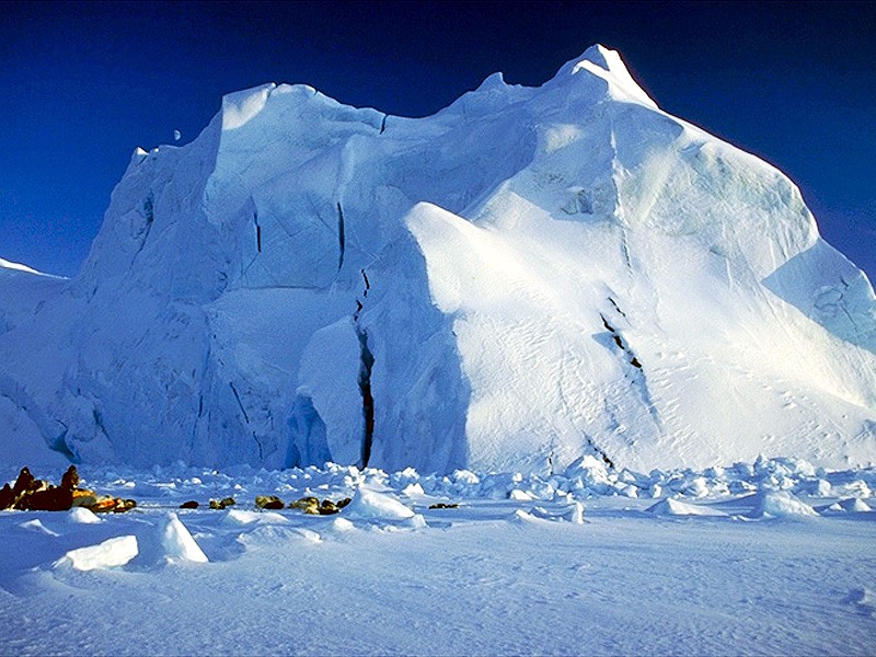
The systematic study of the Arctic begins with the absorption of the Northern Sea Route, but swimming in it is only possible in the summer, because the rest of the year is locked in the ice.
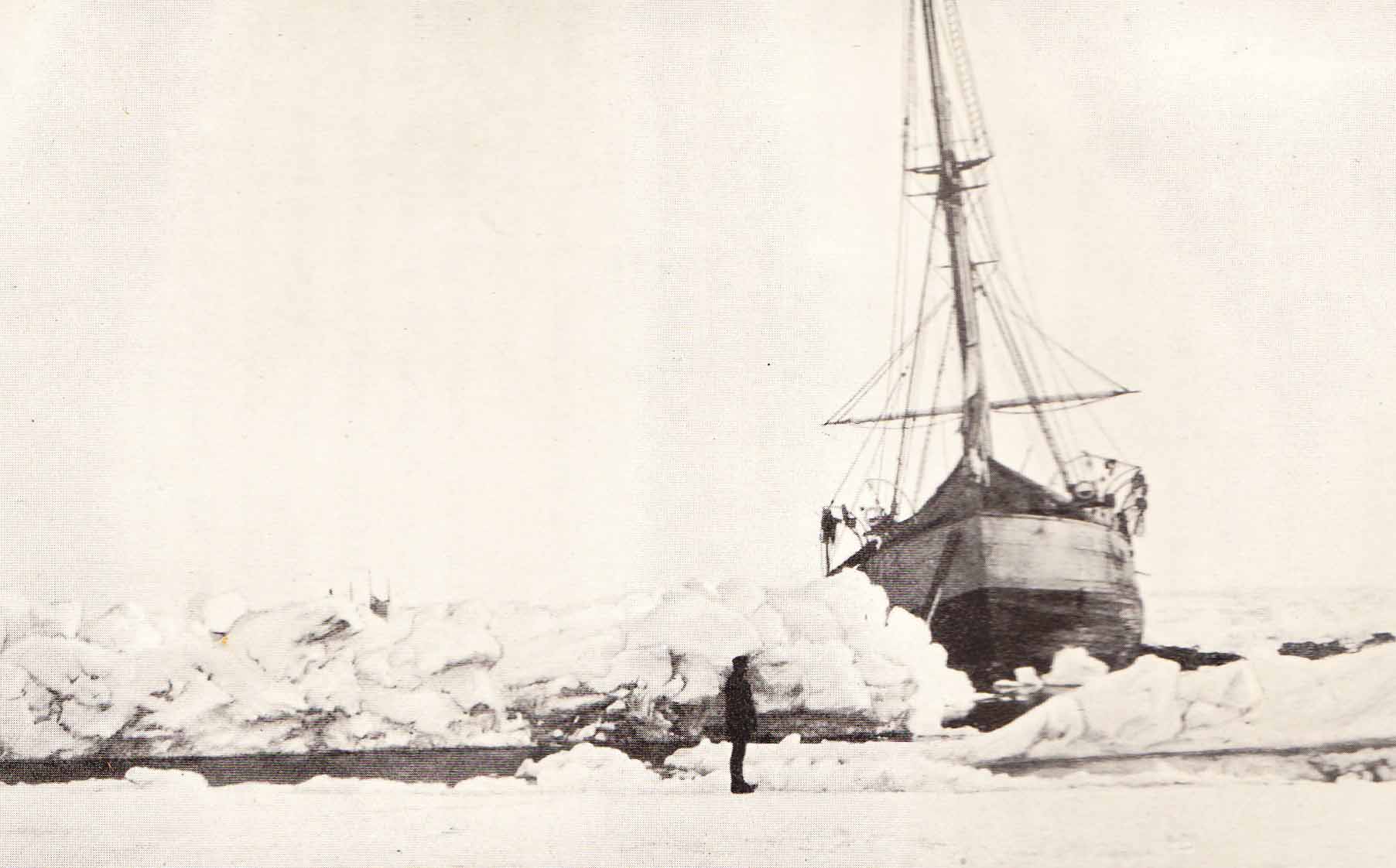
First in the Arctic basin penetrates norwegian expedition of Fridtjof Nansen’s ship “Fram”. On July 21, 1893 “Fram” is approaching large floe. Going round the whole Arctic basin, rowing through ice, on August 19, 1896 the ship safely came in high seas, not far from the north-west coast of Spitsbergen. The expedition met a wide range of physical – geographical observations and found that in the high latitudes of the Arctic, despite popular opinion, is situated not small sea but deep ocean basin – deep Polar Sea, as Nansen called it.
In 1909 the American Robert Peary formed expedition to the North Pole.
A place of honor in the history of the study of the Arctic basin and Northern Sea Route belongs to the Swedish expedition ship “Vega” which came out in late July 1878 from the Gothenburg harbor. Especially in the Chukchi Sea, the expedition met with heavy glued ice on and on September 28th was forced to winter about 200 km away from the Bering Strait. On July 18, 1879, when the ice melted, “Vega” resumed sailing and after two days skirted the northeastern end of Asia. So for the first time, a ship travels around the Northern Sea Route.
Later in 1939, for the first time in history, four polars are accommodated in drifting ice field to study the movement of ice, ocean currents and the weather in the ocean. Nowadays there are regular reviews of all Arctic areas on such drifting research stations.
In 1937 was made the first flight to the North Pole by Gromov and Chkalov. These and many other attempts are stages of the implementation of the Arctic and turned Northern Sea Route in regular transport highway.
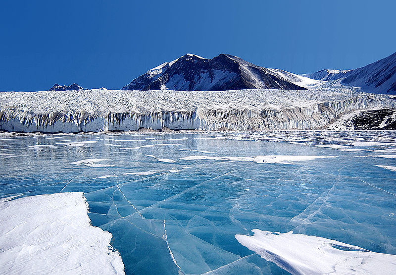
The topography of the islands and the mainland Arctic coast is very diverse. For example 4/5 of Greenland, the largest island on Earth / 2175, 6000 km² / is covered with glaciers to a thickness of 350 m. The free ice territory of Greenland is about 342 thousand km². Small ice caps are found on the Ellesmere island, Devon, Baffin Island in Canada, Svalbard, Franz Josef Land, the New Earth and Northland.
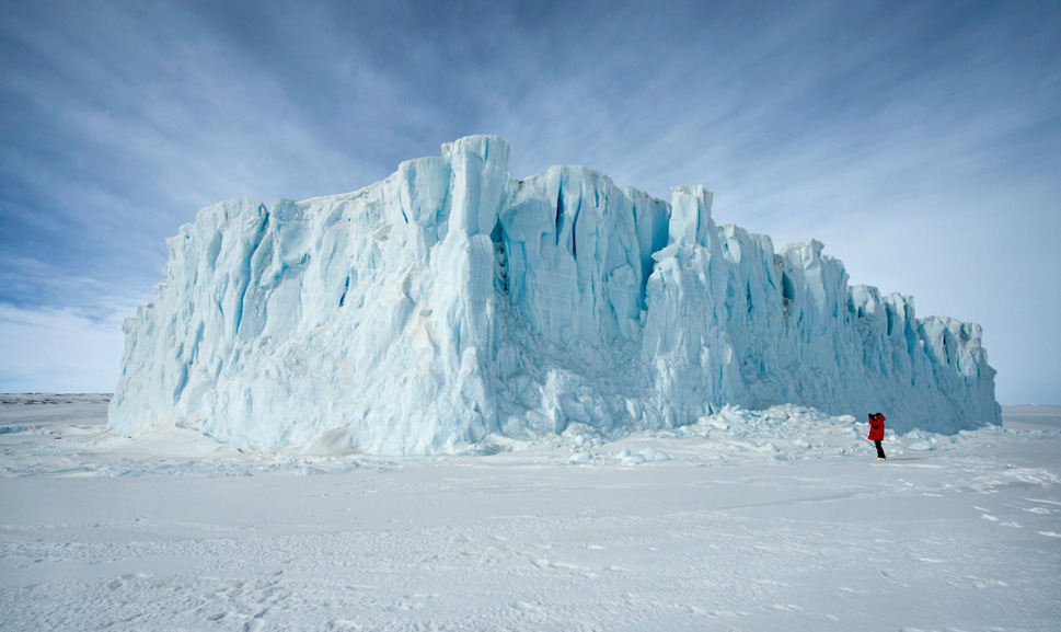
Along the east coast of the Canadian archipelago and оn Labrador peninsula stretch rugged mountains with peaks up to 2600 m. In many places the mountain ridges are covered with glaciers. Low mountains can be seen on New Earth and Taimyr peninsula.
In the Arctic dominates lower wavy plains, where in the summer time for a few weeks, covers with tundra vegetation. Such a landscape is characteristic for the western Canadian Arctic archipelago and the northern coast of Alaska.
Arctic regions is amazing with its diversity – from relatively mild and humid climate on the west coast of Norway, to the polar deserts of Greenland with mean annual temperatures around – 30 °C (- 86 °F)
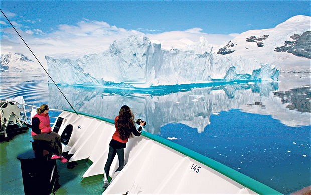
Average monthly air temperatures in the Arctic during the winter change depending on the influence of cold and warm sea currents, the characteristics of the terrain and the prevailing winds. In the Canadian Arctic winter temperatures fluctuate from – 34 °C (- 93 °F) on the islands Queen Elizabeth to – 23 °C (- 73 °F) in the south Baffin Island. In these areas the annual average temperatures are constant below + 10 °C (50 °F). Only on land in late July and early August, daytime temperatures can rise to + 21 °C (69 °F) Climate warming influence of the North Atlantic Drift clearly manifested in the Barents Sea, where the port of Murmansk is almost always free of ice.
In most areas of the Arctic there are no trees, except for some areas of northern Scandinavia and Russia, where are growing pines, spruces and birches. Typical tundra vegetation consists of grasses, lichens, mosses, dwarf willows and birches. Arctic summer is short, but the solar radiation on the earth’s surface is great for stimulating the growth of plants. The temperature of the surface of the soil can exceed that of the air by 20 °C (68 °F).
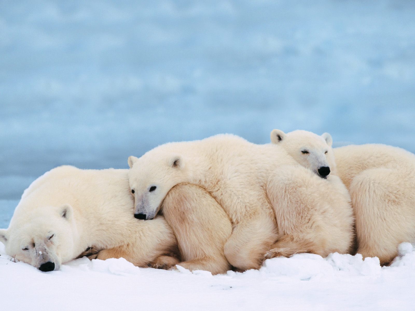
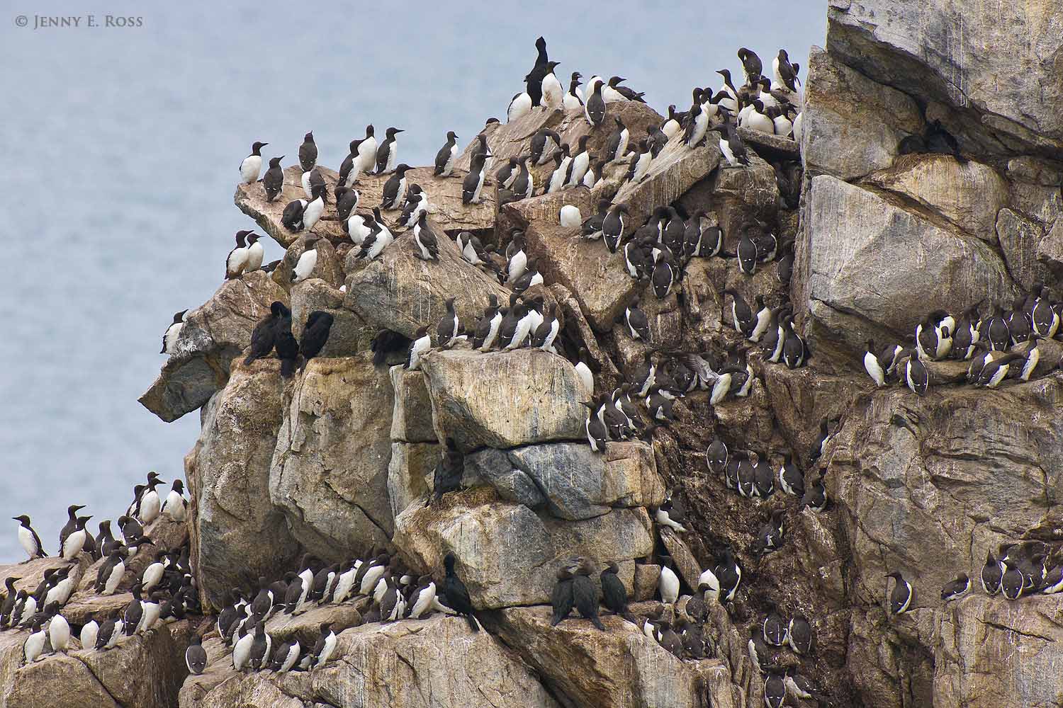
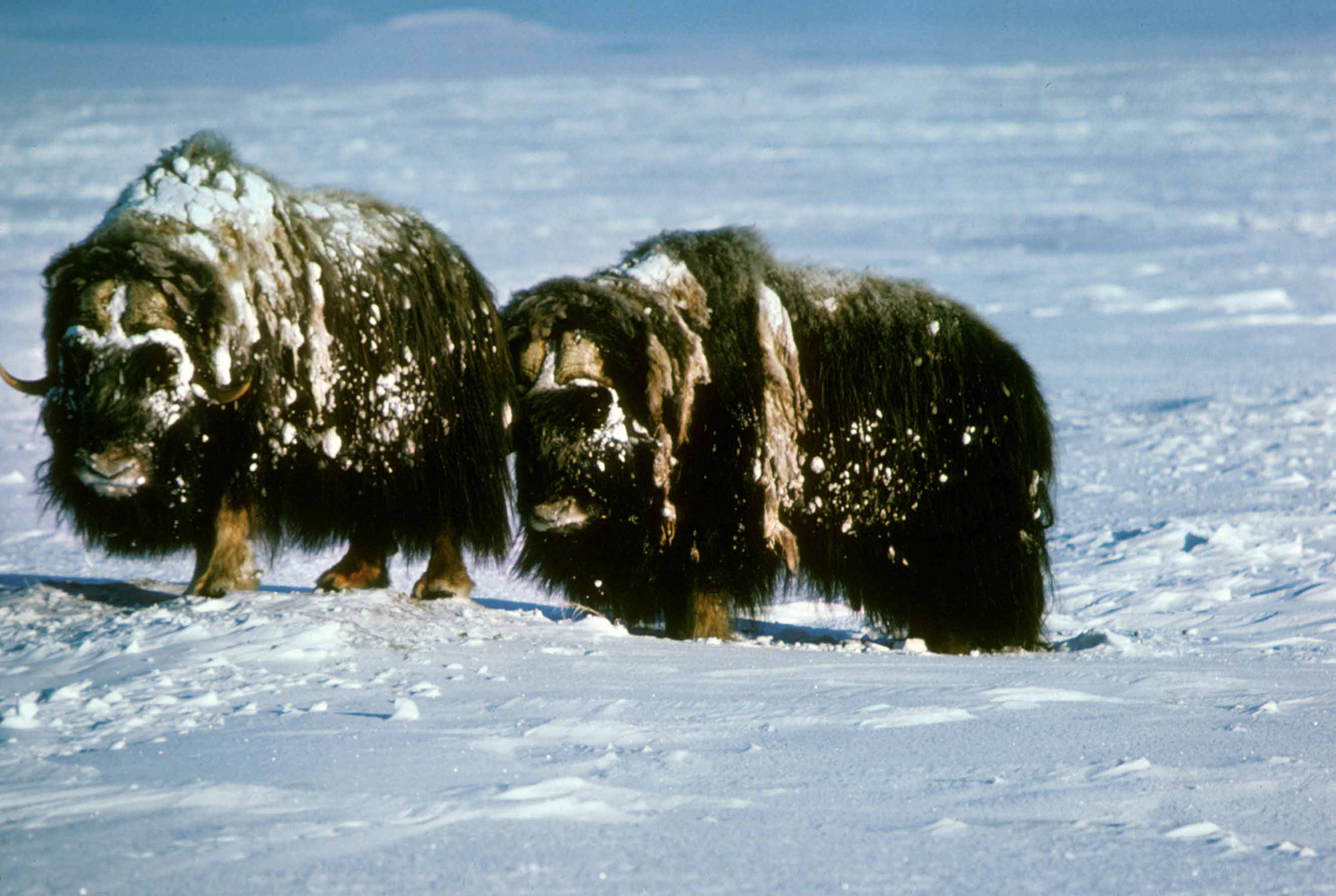
Life in the Arctic is everywhere. Summer bloom modest northern coast flowers, and shores are washed by warm currents. It is becomes even warm but not for long. The ocean is inhabited with seals, walruses, whales and polar bears live on floating ice chunks. In summer, the rocks of the islands are entirely full with seabirds. The noise of this bird bazaar can be heard several kilometers away.
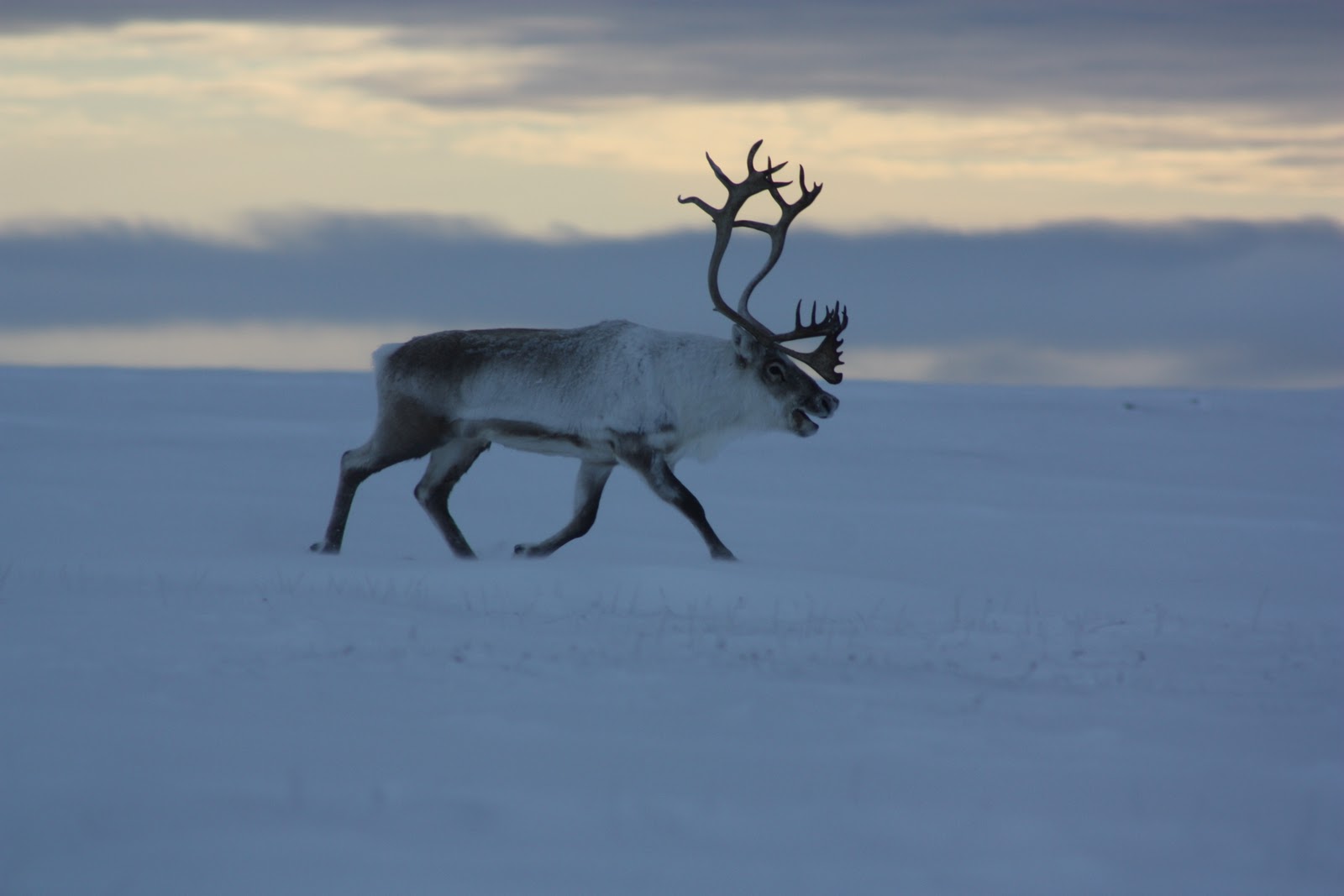
The main feature of the wildlife of the Arctic is a limitation in species composition and abundance of each species. The number of terrestrial mammals have periodic swings. Plant resources ensure the existence of large populations of reindeer, caribou, many of which migrate in the winter to the south – in wooded areas.
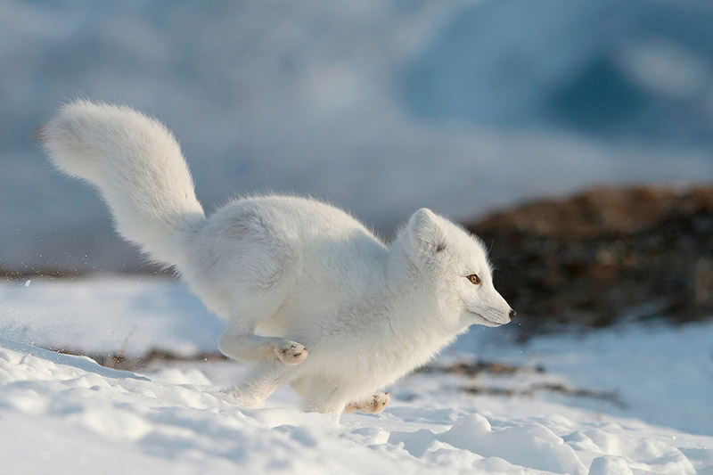
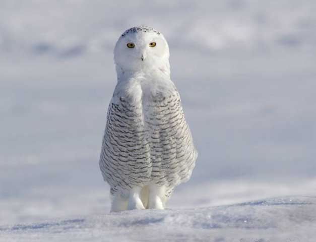
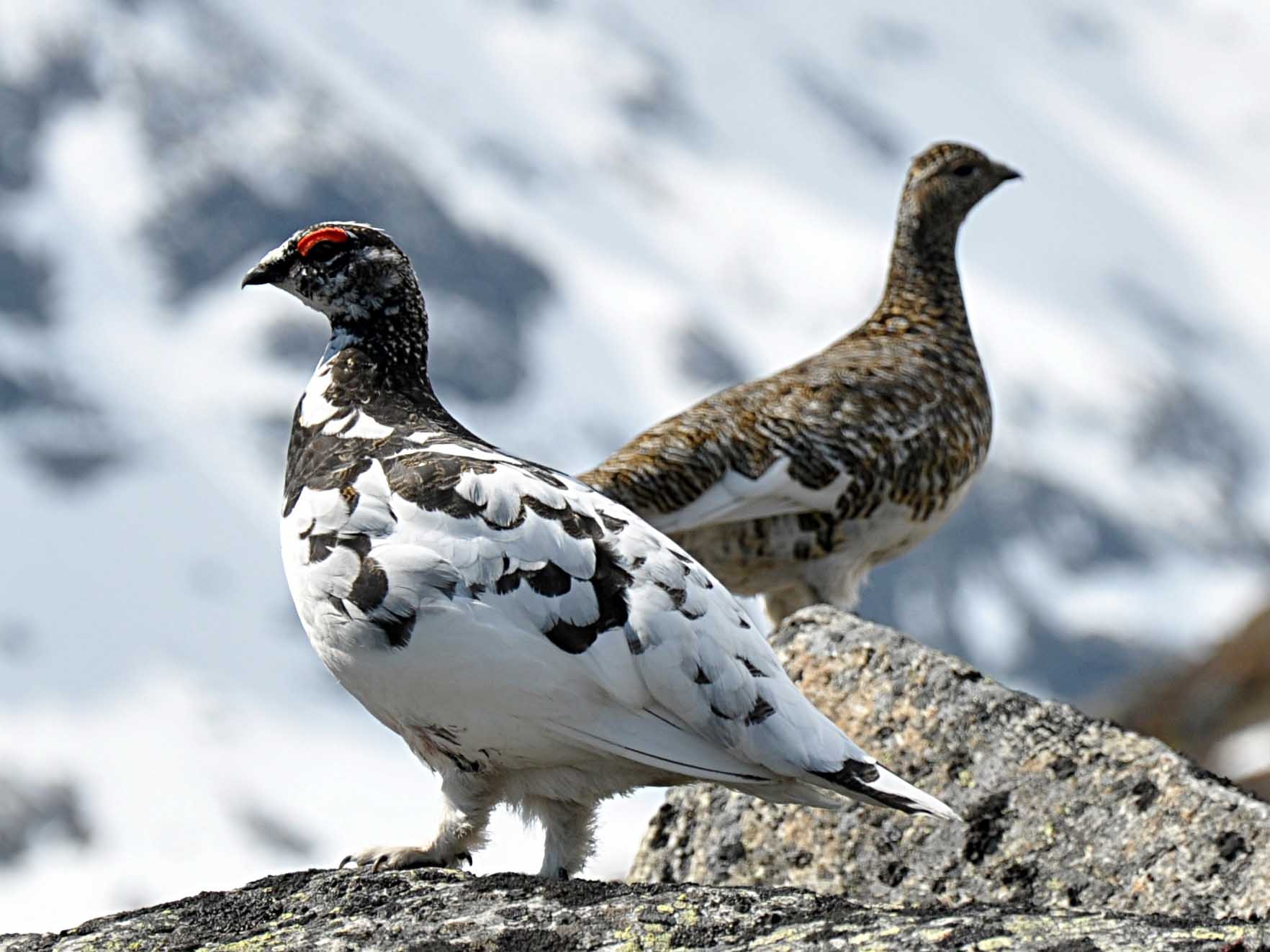
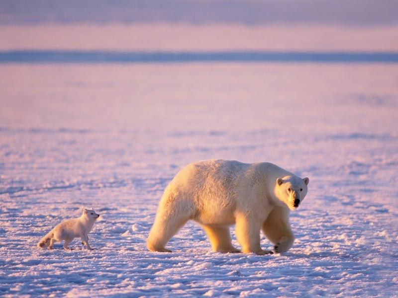
In the Arctic throughout the year live polar bears that spend most of their time on drifting glaciers, rabbits, foxes, white owls, crows, partridges. Polar Sea is full of seals, walrus, white whale and narwhal.
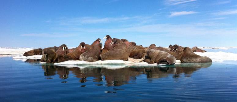
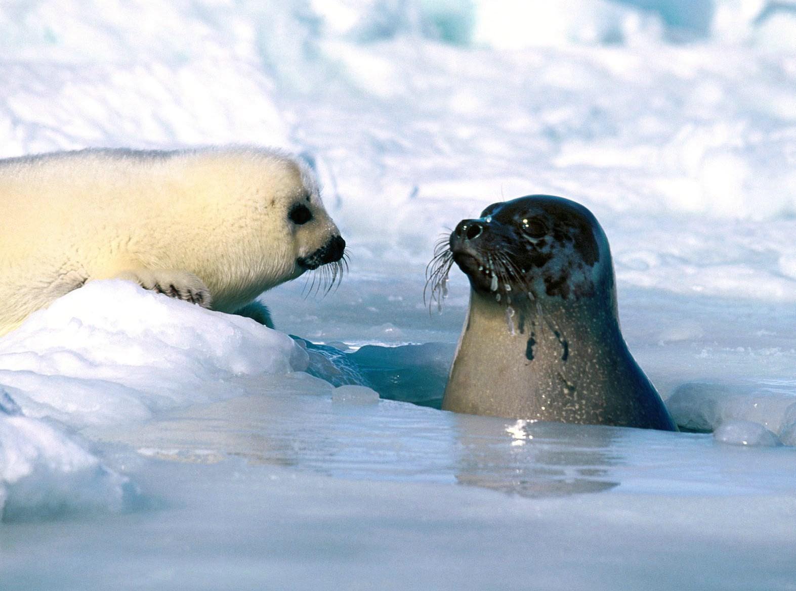
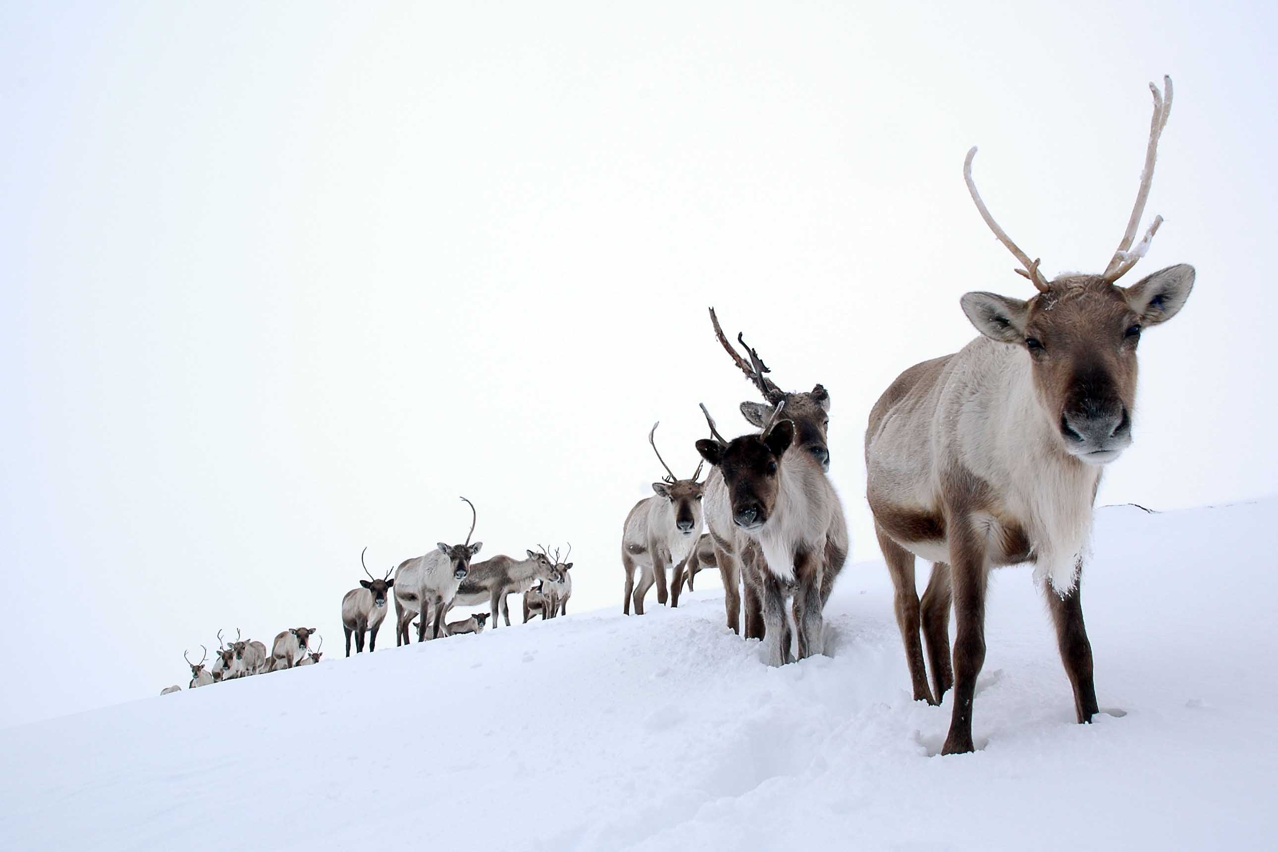
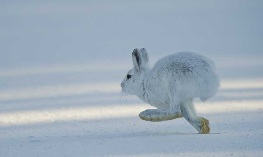
Now the human impact is devastating: the first thirty years of the twentieth century. Number of caribou in North America decreased from 3,000,000 to 200,000 heads. On the border of extinction in North Siberia is the animal with expensive fur – sable, rescued thanks to this that is protected by law. But manatee “Steller” there has disappeared completely. Hunting of polar bears and walrus is prohibited. Equilibrium in the Arctic ecosystem is very fragile and can easily be broken.
The North Pole is covered with permanent ice cover, under which there are significant deposits of gas and oil – raw materials vital for the US and Russia. Their importance will grow even more in the future. Different sources give different assessment of oil and gas fields located in the bottom of the Arctic Ocean. Estimates range from optimistic – a quarter of the still undiscovered global resources to a – set – about 10 billion tons of oil and gas. As oil prices are above $ 70 per barrel, the extraction of these resources in the Arctic will be economically viable.
Russia has repeatedly submitted to the UN documents that declared their claims on the size of its continental shelf in the Arctic. These claims were rejected by neighbors and – Norway, Canada and most particularly the United States. It will not be wrong to say that the conflict over resources in the Arctic is yet to come.
Inspired by Stanislav Stefanov.


